Users may want to create content level metadata for an associated group of files in a HydroShare resource. Any generic folder that is not already set as a content type aggregation may have content level metadata added to it (e.g., Title, Keywords, Coverage, and Additional Metadata with key and value pairs). When this is done, the folder becomes a file set content type aggregation, and metadata is displayed in the metadata panel on the right side of the file browser interface on the Resource Landing Page. When a file set aggregation is downloaded, two additional files are also included, which hold the content type metadata (<AggregationName>_meta.xml and <AggregationName>_resmap.xml), where <AggregationName> is the name of the file set aggregation.
Example
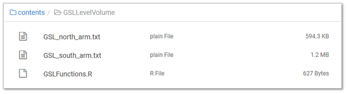
Three related files were added to a resource and placed in a folder called “GSLLevelVolume.”
This folder is converted to a file set by right clicking on the folder and selecting “Add metadata.”

The folder now appears in HydroShare as a file set content type. Content specific metadata can then be added in the panel on the right side of the file browser interface (Title, Keywords and Coverage information).

Keywords added at the content level are propagated up to the resource level, and selecting “Set spatial coverage from content files” when in edit mode propagates the content level spatial coverage up to the resource level.
